Chapel Saint-Étienne
Historic site and monument Religious heritage ChapelPresentation
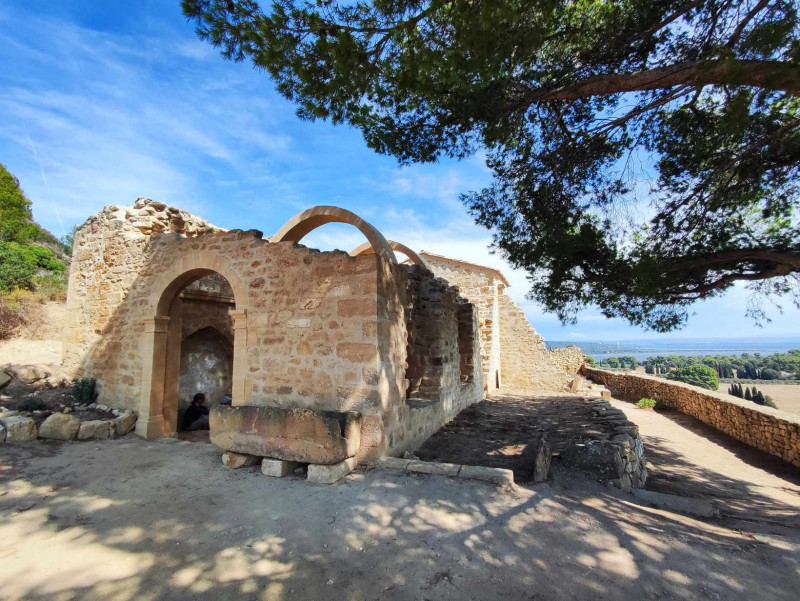
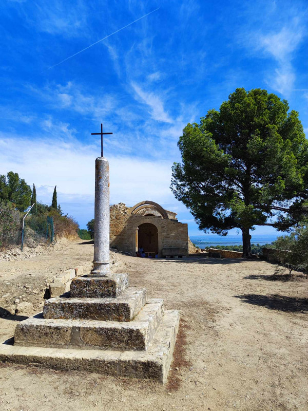
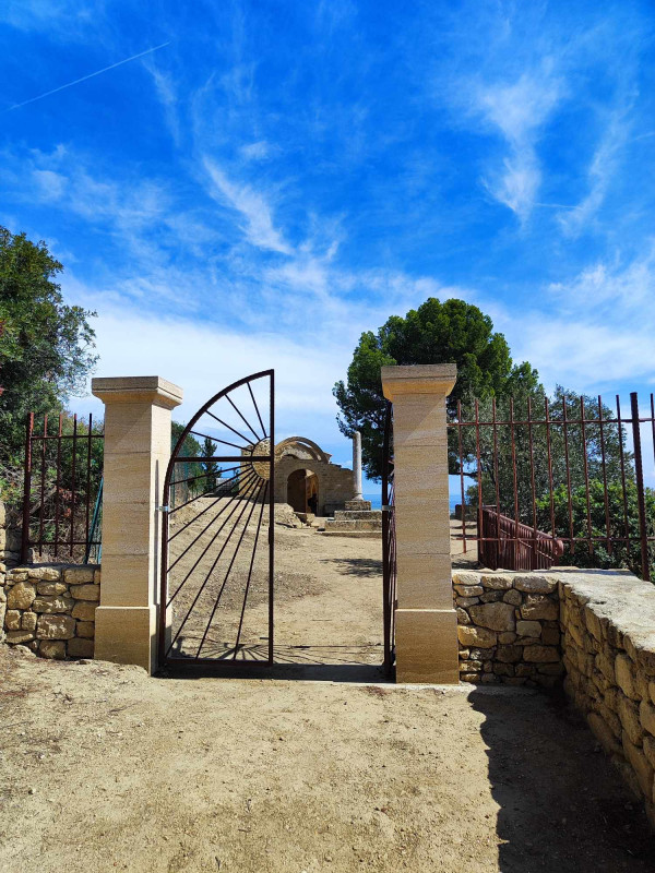
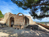
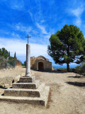
The Saint-Etienne (or Saint-Symphorien) chapel was built on the hill of the same name. Erected at an altitude of 116 metres near the ‘Vulturno’ plateau, it overlooks the etang de Berre, etang de l’Olivier and an area to which it has given its name: the Saint-Etienne district. It is reached via the aptly named ‘Chemin de Saint-Etienne’ which departs from the ‘Chemin du Tour de l'Etang’ after a very beautiful oratory.
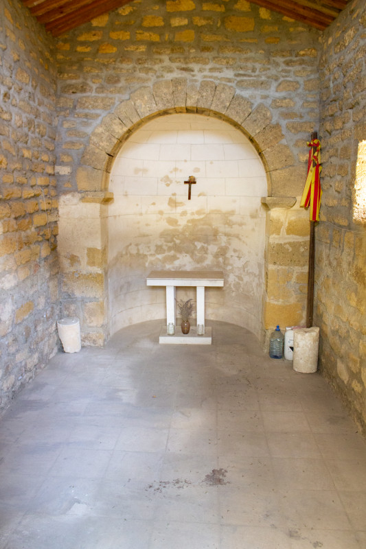
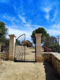
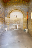
The chapel Saint-Étienne (or Saint-Symphorien) is located on the Hill of the same name. Erected at an altitude of 116 metres near the plateau called "Vulturno", it overlooks the étang de Berre, that of the olive tree and a sector to which it gave its name: the Saint-etienne area. Is accessed through the aptly-named "path Stephen 's" leaving the "path of the Tour de l'Etang" after a very beautiful oratory.It is a place full of history. Indeed, for many centuries all istreens roamed the "Chemin de Saint-Etienne" once per year during the traditional "Recampado" organised on 22 August. This procession, followed by a mass and a meal outdoors on the site of the Chapel, commemorated the vow made in 1720 when the "great plague". While the epidemic was severely Marseille and its surroundings, all the inhabitants of the village had promised to honour each year Saint-etienne if their sector was spared. This Chapel, located near the vault Saint-Michel, a spectacular view awaits you... Anxious to give life to one of heritages, among the oldest and the most symbolic of the town of Istres, Saint Etienne Renaissance association is working on its restoration.
Contact
Chapel Saint-Étienne
Chemin De Saint Etienne
13800
Istres

Destination
Chapelle Saint-Etienne
Chemin De Saint Etienne
13800
Istres
GPS coordinates
Latitude : 43.531703
Longitude : 5.003496


